
Geneva Neighbors by Official Source
A block lookup is a set of parcel and civic records, not a household roster. KaneGIS4 shows the geometry around a known address. DevNet supplies the public owner, site, mailing, tax, and legal-description fields for one parcel at a time. The Recorder adds the deed trail. Geneva maps identify wards, zoning, planned developments, and selected historic properties. Each source has a clear limit.
| Source | What It Shows About a Block | Access |
|---|---|---|
| KaneGIS4 | Parcel shapes, adjacency, street and district layers | Public map; no verified radius tool |
| Kane DevNet | Owner, site and mailing fields, PIN, tax history | Free, one parcel per search |
| Kane Recorder | Deed parties and subdivision or lot context | Free index; address coverage incomplete |
| Kane Voter Search | A named person's status, precinct and districts | Name plus house or street; no block roster |
| Geneva maps | Ward, zoning, planned development, historic context | Public city maps and StoryMap |
| Library directories | Past occupants by available volume | Mostly in-library; reverse sections unconfirmed |
The owner named on a parcel card may live elsewhere. Renters and other members of a household do not appear as a guaranteed list. When looking for Geneva neighbors, label every row as owner, mailing recipient, named voter, deed party, or historic occupant instead of merging those roles.
Map a Geneva Neighbors Block
Start at one verified site address and move only to parcels that visibly border it. The Kane Property Tax Inquiry and KaneGIS4 viewer work as a pair. GIS locates the shapes; DevNet supplies the record fields. The county warns that GIS geometry is not a survey, so use the map for research adjacency rather than a boundary dispute.
- Search the known site address in DevNet. Copy its dashed PIN, parcel key, site address, and legal subdivision or lot.
- Open KaneGIS4, locate the parcel, and zoom until parcel lines and the street centerline are visible.
- Click each bordering polygon. Record the adjacent PIN or site address shown, then return to DevNet for that parcel.
- Keep the owner and mailing blocks separate. Compare the tax year and note any tax township or city mismatch.
- Use a PIN, legal description, or owner name in the Recorder only when a deed question matters.
No exact buffer, radius, or select-by-location control was confirmed during research. Do not promise one. For every lot along a named road, the Geneva street directory method expands beyond the immediate block.
Geneva Neighbor Address Mismatches
One inspected Kane tax card shows why block work needs care. Its site is in Geneva, while the tax township and the owner's mailing city read St. Charles. The PIN, site address, tax district, township, mailing address, and legal description all describe different parts of the record. None should silently replace another.
- Site address
- The street location assigned to the taxable parcel.
- Mailing address
- The destination used for the tax bill, which may be outside Geneva.
- PIN
- The parcel identification number used to connect tax, map, and deed searches.
- Legal description
- The lot, block, subdivision, or surveyed land description that can outlast an address label.
A homestead exemption can be an occupancy clue for a tax year, but it is not final proof of who is in the home today. Treat the result as dated evidence.
Geneva Neighbors on City Maps
The Geneva City Maps hub gathers ward, street-index, zoning, historic, and other civic maps. These layers explain which public body or planning label applies to a block. They do not name everyone who lives there.
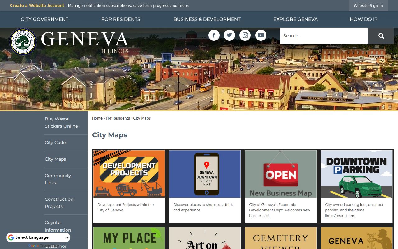
The map hub is the right source for a current ward or street context. A property can also sit in a named planned development such as Pepper Valley, Kirkwood, Eagle Brook, Williamsburg, Geneva Knolls, or Herrington's Trail. Those are city planning labels, not proof of an association or private membership.
Annexation records add another layer. A municipal boundary can change while a legal description remains stable. Use an official plat and the parcel PIN if a postal city, tax township, and Geneva city district do not line up.
Geneva Block Community Sources
No official citywide list of Geneva neighborhood associations, HOA contacts, or member rosters was found. That gap matters. It would be inaccurate to turn planned-development names into organizations or imply that a private directory is public. Official sources still provide ways to identify the civic context around Geneva neighbors.
| Public geography | What it supports |
|---|---|
| Geneva ward map | Ward boundary and elected civic geography |
| Historic Designations StoryMap | Selected historic-property grouping, photos, ratings, and design context |
| Zoning and PUD maps | Planning areas and development-era names |
| City projects and agendas | Public work, hearings, commissions, and named projects |
| Kane Mill Creek page | Public covenant and fourth-Monday meeting context, not a roster |
City Council and commission agendas, library programs, Geneva History Museum events, and city news can reveal public groups or meeting places. No official congregation, club, or block-watch member roster was located. Ask an organization directly for public contact information rather than reconstructing membership from personal records.
Geneva Neighbors and District Businesses
The Geneva business and resource directory searches by name, category, alphabet, and business district. Its observed district choices include Downtown, East, Commons, Randall, and Fabyan-area labels. The results can show a business name, address, phone, link, district, and description.
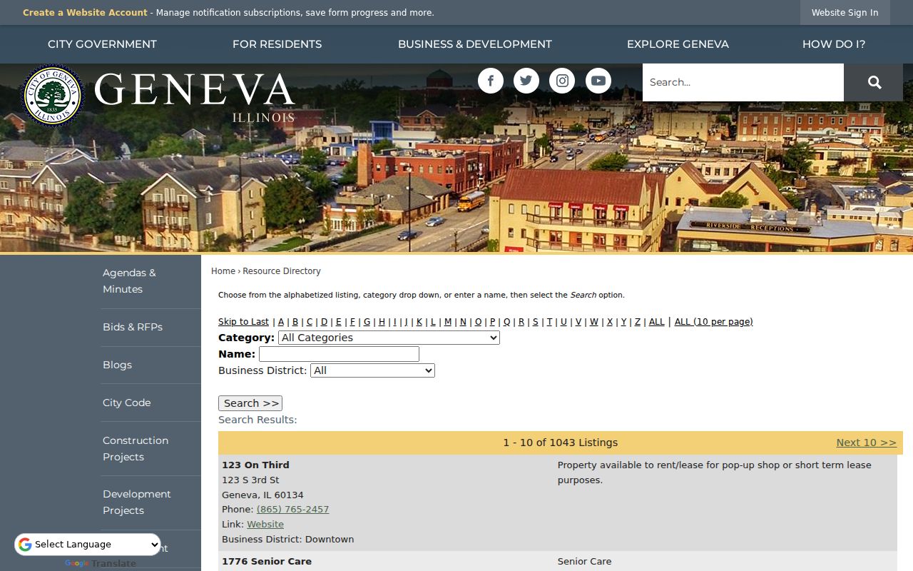
That screen is useful for understanding services and commercial activity near a Geneva block. It is not a resident directory. A business owner, officer, worker, registered agent, and nearby resident are distinct roles, even when the same name appears in more than one record.
Geneva Neighbors and Voter Records
The Kane Voter Search requires a last name plus a house number or street name. It can return status, precinct, polling place, districts, and a sample ballot for that named match. It cannot be searched as an anonymous list of every voter on a block.
Illinois law redacts sensitive voter fields and limits use of broader voter data. A parcel owner's name is not a reason to infer every registered voter or household member. Use the election tool only to verify a person already known, and preserve the result date because registration and district details can change.
Note: The public voter form verifies one named person; it does not turn a Geneva street into a downloadable neighbor roll.
Historic Geneva Neighbors by Address
Past block research belongs to dated sources. Batavia Public Library lists Tri-City directories from 1910 through 1947 in selected years, telephone books from 1934 through 1956, and Polk Fox Valley directories across many years from 1950 through 2018. Most local-history access is in the library. Exact reverse or criss-cross sections have not been confirmed, so inspect the volume's table of contents and abbreviation key before promising an address-to-name entry.
Geneva Public Library adds text-searchable Geneva Republican coverage from 1878 through 2016, plus in-library genealogy databases. The city's 2026 Historic Designations StoryMap supplies photographs, ratings, design detail, and historical context for selected properties based on preservation surveys. A 1930 Sanborn set held by the University of Illinois contains 17 Geneva sheets for building and lot context, not names.
Use a directory year, map sheet, census year, and deed date as separate time stamps. An old occupant is not a current neighbor.
Official Geneva Neighbor Records
Commercial neighbor tools often combine parcel, marketing, directory, and data-broker feeds. Update dates can be unclear, and records for people with similar names may merge. Official Kane and Geneva sources require more steps, but each result identifies the custodian and the type of fact recorded.
| Method | Strength | Limit |
|---|---|---|
| GIS plus DevNet | Dated parcel geometry and public owner fields | Owner is not a complete occupant list |
| Recorder index | Named deed parties and legal land context | Address indexing is incomplete |
| City maps | Official wards, planning, and historic layers | No household names |
| Commercial category | Convenient combined display | Source dates, corrections, and identity matching may be opaque |
A small research table is safer than a profile. Record the target parcel, adjacent PIN, site address, owner field if public, mailing city, tax township, source date, and a confidence note. Never infer that adjacent owners know one another or share a household.
Privacy for Geneva Neighbors
Utility customers, delivery data, library patron history, private association members, and most household members are not public block lists. Courts restrict sealed, juvenile, expunged, and protected records. Vital certificates require eligibility. The Illinois Address Confidentiality Program supplies a substitute address for qualifying survivors, though it does not erase old property records or guarantee that all property information stays hidden.
Illinois stalking law covers repeated monitoring, surveillance, threats, unwanted contact, and other conduct that causes fear or distress. A public parcel or deed record does not excuse misuse. If a source is wrong, seek correction from the Kane or Geneva custodian instead of spreading the error.
Keep block research at the record level. Note that a parcel card names an owner, a permit may name an applicant, and a voter match reflects registration status. None of those labels identifies every person present at an address. That restraint matters most when the same mailing city or surname appears on several nearby records.
Lawful use. Research Geneva neighbors for civic, historical, or personal purposes only. Never watch, harass, intimidate, or harm a person found in records.